Volcano Time

We can’t resist climbing nearby volcanoes it seems. Last year it was Etna, this year El Teide. Syd saw Vesuvius when she visited Pompeii a few weeks ago so she is one up (kind of) on her parents.

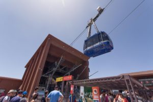
Like Etna access to El Teide has been made easy with the installation of a cable car that climbs 3500+ feet in 8 minutes. And with the cable car base station at an elevation of 7700 feet meant we were at 11000 feet for the start of our hike. We had a great view for those moments we got winded and needed a rest. El Teide (the highest point in Spain, 90 miles off the coast of Morocco???)  is an active volcano with the last major eruption in 1909 while Etna is in a constant state of slow but steady eruption. Christopher Columbus reported that El Teide was erupting when he sailed by Tenerife on his way to ‘India’ in 1492. I always smile when I think how much the world has changed since Admiral Columbus’s time, imagine trying to explain to him that the Canary Islands would one day be full of something called tourists who would have access to the islands from Europe in a matter of hours. Would he believe you? Now take the same thought and roll it forward, where is the world going to be in 2516, would we believe it?

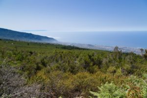
After climbing El Teide we decided to visit some towns on the north side of the island but as they say, what goes up must go down. With the cable car base station at an elevation of 7700 feet and our hotel at ~300 feet (a beach hotel) we had a ways to drop. And although the mileage was low the road layout meant endless switchbacks so even short distances took time. Kim said think of the part of the big island of Hawaii that you are not allowed to drive on but with roads. By the time we got back to ‘sea-level’ we decided we had had enough and headed back towards the hotel with frequent stops. This place is beautiful so we hardly suffered.

My motto is “So far away I can’t walk home.” Can’t swim home either from here.

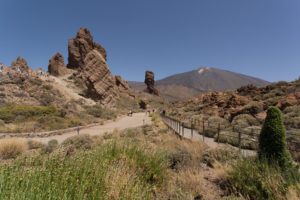
In El Parque Nacional del Teide, already at 7700 feet.

In El Parque Nacional del Teide, already at 7700 feet.

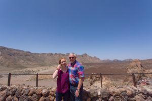
Hey I am in a picture!

Hey I am in a picture!

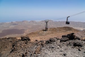
The ride up.

The ride up.

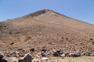
El Teide.

El Teide.

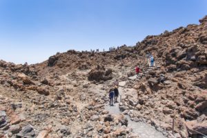
The beginning was easy.

The beginning was easy.

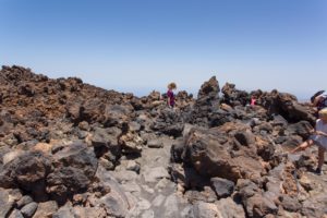
The rough way forward.

The rough way forward.

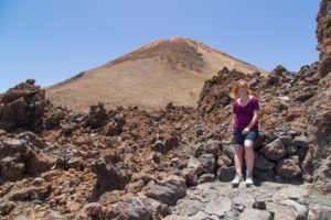
Syd and El Teide.

Syd and El Teide.

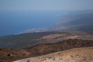
Looking north to Puerto de la Cruz from El Teide.

Looking north to Puerto de la Cruz from El Teide.

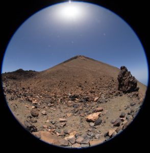
A fish eye view...

A fish eye view…

Another load to the top to El Teide.

Another load to the top to El Teide.

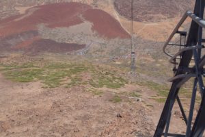
I think I see my car...

I think I see my car…

On the way down...

On the way down…

... but still have 3500 feet to go...

… but still have 3500 feet to go…

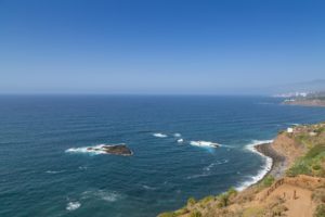
Beautiful water.

Beautiful water.

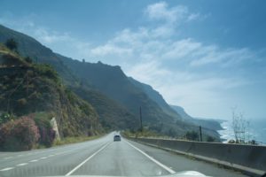
On TF-42 near San Juan de la Rambla. Looks like Hawaii eh?

On TF-42 near San Juan de la Rambla. Looks like Hawaii eh?

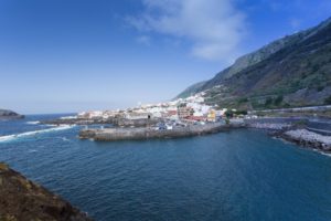
Garachico, Tenerife.

Garachico, Tenerife.

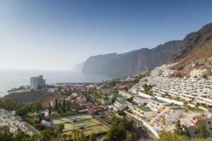
Los Gigantes.

Los Gigantes.

S L O W Day (Two)

We planned an even balance of touring and down days on this trip. Sitting around is not something that comes naturally to me, I start to twitch after a while. But it is good for us, no pressure except when to get into the pool.

Not that there was no (minor) drama, the Internet service has been spotty and my roll as IT  head at home also extends to travel issues. I did my research and when I asked the hotel staff what was up with their internet connection I was told to cycle the wifi and if that does not fix it the device itself. I told them that the devices are fine and the problem was either with their modem to their ISP or at their  ISP itself. Ohh was the response I got to that information. The staff later confirmed I was correct and they were working with their ISP to fix the issue. They apologized rather profusely for the problems, and I told them I was on an island in the Atlantic Ocean and the fact that I had internet service at all was pretty amazing. We had a good laugh over that.

Back to relaxing… Twitch…

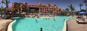
Pool time.

Pool time.

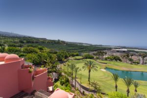
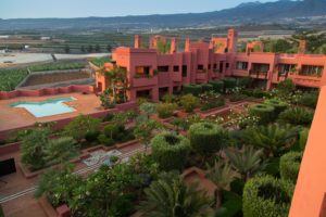
The farm in the upper center is growing bananas. Golf and bananas are big here.
The farm in the upper center is growing bananas. Golf and bananas are big here.
A view out into the Atlantic. The island visible thru the clouds is La Gomera.

A view out into the Atlantic. The island visible thru the clouds is La Gomera.

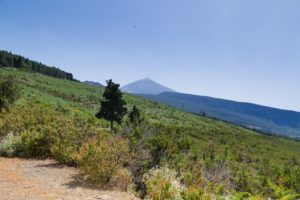
A garden at the resort. You can see the top of the volcano in the background.

A garden at the resort. You can see the top of the volcano in the background.

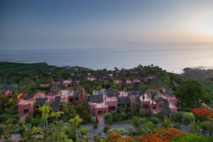
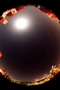
Another night shot.

Another night shot.

Garmin’d Again

We set this trip up to be a mix of tour and down days so it was time to get out again. Kim identified Ronda as a target for this trip and our driver to Gibraltar recommended visiting Setenil de las Bodegas, a short drive beyond Ronda. Both Google Maps and our Garmin said these sites were close, max 1.5 hours. Not too bad, slept in a little and off we go!

Well the execution outbound was fun. Both these sites are high in the mountains and with the short distace from our hotel in Estepona that meant a twisty road that rose quickly. We were ready for that but getting behind a big rig that refused to get over slowed us and about 35 other cars down until just about our destination. Some of the other cars were not as patient as we were and were performing risky passes. Surprised there was not at least one accident. Once we cleared the ‘train’ we thought whew but no. In the past few trips on one day we drive the Garmin has to send us off on an adventure and that day had arrived on this one. Although we updated the maps just prior to our departure we found ourselves on roads the Garmin did not know an out throwing it into recalculate mode. Also it tried to send us down roads that were not accessable anymore or roads that were questionable to drive on. This would not be so bad if there was an easy way to tell it to re-route which was not as simple as a push of a button. Adventures in Garmining. Again!  🙂

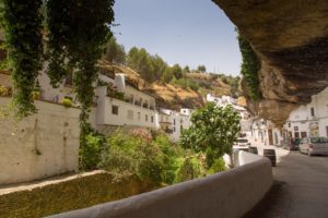
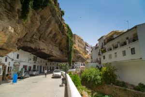
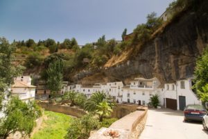
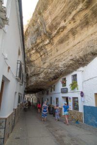
Our first stop of the day was Setenil de las Bodegas a town where deep overhangs were carved in the narrow gorge the river Rio Trejo ran thru. People have been taking advantage of these natural shelters since cave-dwelling societies and now houses have been built in taking advantage of the steady temperatures provided.

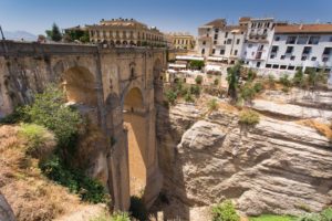
Our next stop on this hot day was Ronda noted for Puente Nuevo, a stone bridge spanning a dramatic gorge and Plaza de Toros, an 18th-century bullring. Earnest Hemingway and Orson Wells were frequent visitors to Ronda,  Hemingway based sections of his novel For Whom the Bell Tolls on events that occurred here. The accounts of Hemingway and Wells (who is buried near Ronda) helped put this city on the international map.
In the overhangs in Setenil de las Bodegas.

In the overhangs in Setenil de las Bodegas.

In the overhangs in Setenil de las Bodegas.

In the overhangs in Setenil de las Bodegas.

The dark streaks on the rocks is smoke from prehistoric dwellers.

The dark streaks on the rocks is smoke from prehistoric dwellers.

Setenil de las Bodegas

Setenil de las Bodegas

Puente Nuevo bridge spanning El Tajo canyon in Ronda.

Puente Nuevo bridge spanning El Tajo canyon in Ronda.

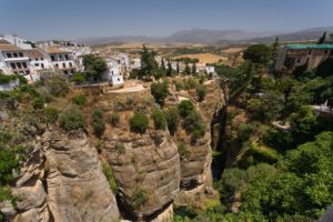
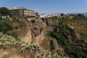
El Tajo canyon in Ronda.

El Tajo canyon in Ronda.

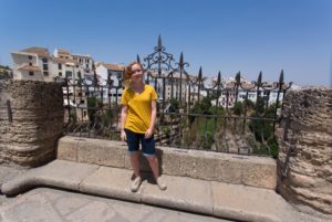
Syd in Ronda.

Syd in Ronda.

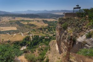
The view from Ronda.

The view from Ronda.

Ronda

Ronda

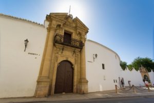
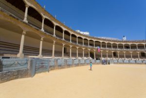
Plaza de toros de Ronda

Plaza de toros de Ronda

In Plaza de toros de Ronda.

In Plaza de toros de Ronda.

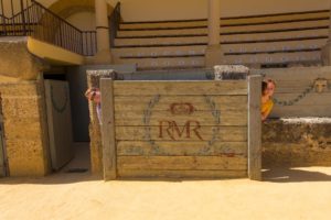
You can hide...

You can hide…

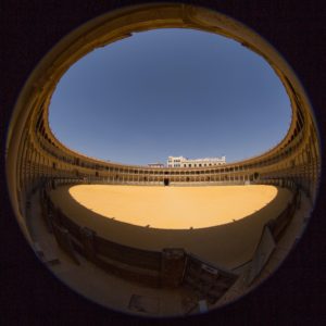
A fisheye of Plaza de toros de Ronda.

A fisheye of Plaza de toros de Ronda.

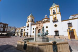
Plaza del Socorro in Ronda.

Plaza del Socorro in Ronda.

Setenil de las Bodegas in Cádiz, Spain. – Spherical Image – RICOH THETA

Puente Nuevo in Ronda, Spain. – Spherical Image – RICOH THETA

A different view of Plaza de toros de Ronda. – Spherical Image – RICOH THETA